Key Points
- Campaign group Taking Transport Forward Edinburgh (TTfE) welcomes City of Edinburgh Council’s ‘metro map’ concept for a third tram line.
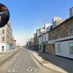
- The map outlines a network reaching underserved areas, including potential links from Portobello and South Sub to the tram system.
- TTfE Chair Rob Falcon praises the plans, emphasising reopening the South Sub for fast public transport across south Edinburgh.
- Council transport leader Stephen Jenkings describes the map as a ‘concept’ rather than a firm plan.
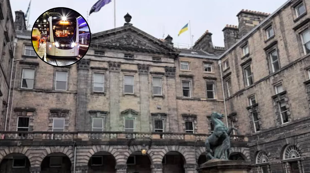
Edinburgh (Edinburgh Daily News) February 2, 2026 – A campaign group has welcomed the City of uk/local/edinburgh-council/">Edinburgh Council’s latest transport vision featuring a potential third tram line.
The ‘metro map’ proposes tram routes extending across the city, including areas currently poorly served by public transport, to ease congestion and improve bus services.
What does the council’s tram expansion plan involve?
According to Midlothian View, the council’s concept map shows a comprehensive tram network linking various parts of Edinburgh, with potential new routes from Portobello via London Road or Seafield and Leith Docks to connect with the existing line on Leith Walk to Newhaven.
These routes would utilise old railway lines like the South Sub, minimising construction disruption and costs while providing efficient services.
As reported by Liam Eunson of Midlothian View, TTfE highlighted that the network would relieve congestion and enable regional journeys beyond city boundaries.
How has the campaign group responded?
TTfE Chair Rob Falcon stated:
“We welcome publication of the Council’s medium term transport plans which of course must include reopening the ‘South Sub’. The line will provide fast and efficient public transport across the south side of the City.”
Falcon added that it would support regional travel east and west, reducing traffic on the bypass, according to Midlothian View reporting.
What connections are proposed for the east side?
The group noted plans for better public transport from Portobello and the South Sub, linking to the tram network, as outlined in the council’s map and covered by Midlothian View.
What are the next steps for these tram proposals?
Councillor Stephen Jenkings, transport convener, posted on BlueSky that the map represents a concept, with a separate public consultation underway on north-south tram routes from Granton to BioQuarter and Royal Infirmary, per Edinburgh Council announcements.
Edinburgh Council seeks views until late October on options like Roseburn Path or Orchard Brae, to inform a Strategic Business Case for 2026, as reported by official council sources.