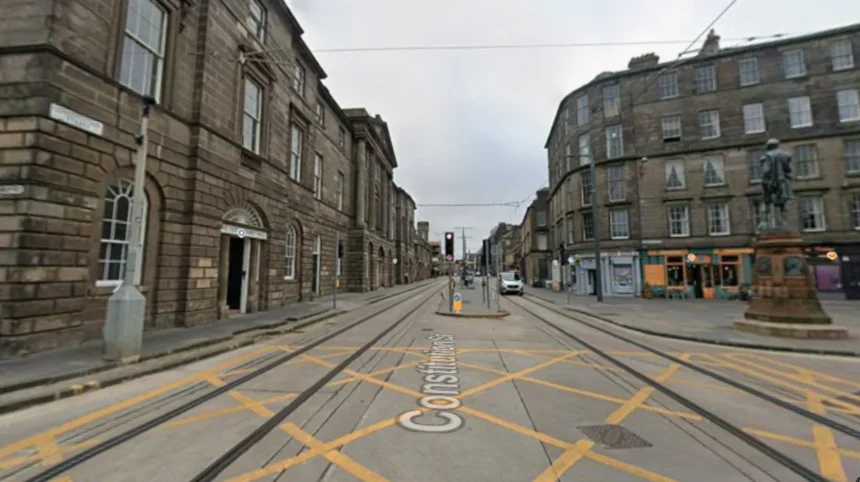
Leith is a historic port district situated on the southern shore of the Firth of Forth, serving as the main maritime gateway for Edinburgh, Scotland, since the twelfth century, driving international trade and regional economic growth.
- How did industrial decline impact the urban structure of Leith during the twentieth century?
- What key urban planning policies initiated the waterfront regeneration process?
- How has transport infrastructure expansion connected Leith to greater Edinburgh?
- What role does the culinary economy play in the modern identity of Leith?
- How have real estate dynamics shifted across commercial and residential sectors in Leith?
- What cultural institutions and community heritage assets define modern Leith?
The geography of Leith positioned the settlement as the primary entry point for goods entering east-central Scotland. Royal charters granted by King David I in 1128 formally recognized early maritime traffic along the mouth of the Water of Leith. The deepwater access enabled trade routes connecting Scotland with Scandinavia, the Baltic states, and Western Europe. Cargo vessels imported timber, wine, grain, and textiles, establishing warehouses and dockyards along the shoreline.
The physical proximity to Edinburgh, located two miles south, created an economic relationship between the two jurisdictions. Edinburgh controlled the port rights and trade monopolies of Leith for centuries, restricting local merchant independence. Physical infrastructure developed rapidly during the eighteenth century to accommodate larger industrial vessels. Custom houses, dry docks, and stone piers expanded the boundary of the waterfront.
Leith operated as an independent burgh between 1833 and 1920, establishing its own civic governance. The industrial expansion of the nineteenth century introduced shipbuilding yards, flour mills, chemical works, and timber yards. Urban growth concentrated housing density around the docks, creating distinct residential pockets alongside maritime operations. The geographical layout directly influenced twentieth-century industrial patterns and subsequent regeneration strategies.
How did industrial decline impact the urban structure of Leith during the twentieth century?
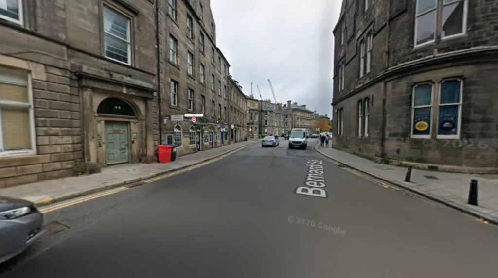
Industrial decline during the mid-twentieth century caused widespread economic contraction, infrastructure decay, reduced maritime freight traffic, and severe population losses across the docklands and residential quarters of Leith.
Global containerization during the post-World War II era shifted Scottish shipping logistics toward deepwater facilities located in Grangemouth and the west coast ports. The shallow basins of Leith docks could not accommodate modern cargo vessels, leading to rapid commercial decline. Manufacturing operations shut down rapidly between 1960 and 1980, leaving expansive docklands abandoned and structurally compromised. Shipbuilding ceased entirely, stripping the region of its primary employment sector.
Economic stagnation contributed to severe social deprivation and urban decay throughout the late twentieth century. Disinvestment led to sub-standard housing conditions, causing population numbers to decline as residents migrated outward. Housing stock fell into disrepair, and vacant warehouse structures dominated the physical landscape. Land contamination from heavy industrial processing presented environmental challenges that delayed immediate site redevelopments.
Public health issues and economic marginalization characterized the area during the 1970s and 1980s. Government reports from this era identified Leith as a region requiring structural intervention. Urban planners recognized that traditional industrial models were unsustainable, necessitating a comprehensive shift toward service sector industries, tourism assets, and modern residential zoning.
What key urban planning policies initiated the waterfront regeneration process?
Strategic urban regeneration began in the late 1980s through coordinated public sector investments, land decontamination initiatives, infrastructure modernization programs, and policy frameworks created by the local planning authority.
The establishment of the East of Scotland Development Agency and local council initiatives launched the initial physical renewal strategies. Planners targeted derelict maritime infrastructure for public use and private sector real estate investment. Land clearance programs removed hazardous industrial waste, preparing long-abandoned plots for structural redevelopment. Master plans prioritized high-density residential developments, public plazas, and commercial waterfront spaces.
The permanent arrival of the decommissioned Royal Yacht Britannia in 1998 served as an anchor project for waterfront tourism. The construction of the Ocean Terminal complex integrated retail operations with maritime heritage attractions. Planning frameworks mandated the conservation of historic industrial assets, ensuring that stone warehouses, docks, and coastal walls received historic preservation designations.
Housing association grants funded the restoration of historic tenement housing alongside new housing developments. Planning policies prioritized transport connectivity, establishing dedicated bus corridors and pedestrian paths along the Water of Leith walkway. The integration of public and private capital converted industrial port land into mixed-use commercial and residential zones.
How has transport infrastructure expansion connected Leith to greater Edinburgh?
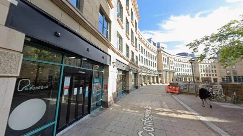
Transport infrastructure improvements, highlighted by the extension of the Edinburgh Trams network to Newhaven in June 2023, established direct, high-capacity transit links between Leith waterfront and the city center.
The completion of the 4.7-kilometer tram network extension cost £207.3 million, establishing key transit stops along Leith Walk, Foot of the Walk, Ocean Terminal, and Newhaven. Transit times between the waterfront and Edinburgh Waverley railway station dropped to under 15 minutes, improving regional commuting efficiency. The public transport system increased daily passenger throughput, encouraging commercial foot traffic across the district.
Active travel infrastructure developed alongside major public transit upgrades. The Water of Leith Walkway provides a continuous 12.7-mile off-road path for cyclists and pedestrians connecting the port to western Edinburgh. Redesigned streetscapes along Leith Walk prioritized wide footpaths, segregated cycle paths, and traffic-calming measures to reduce private vehicular congestion.
Enhanced transport links increased property values and business investment metrics within a 500-meter radius of active tram stations. Logistics routing shifted toward low-emission public transit, lowering commercial transport emissions. Strategic infrastructure investments successfully integrated the previously isolated coastal enclave into the broader economic perimeter of the Scottish capital.
What role does the culinary economy play in the modern identity of Leith?
The establishment of Michelin-starred dining venues, specialty food halls, independent cafés, and waterfront bars transformed Leith into a premier gastronomic destination that attracts international tourism.
The Shore district developed a high concentration of award-winning culinary establishments, including Michelin-starred venues such as The Kitchin and Restaurant Martin Wishart. Local chefs pioneered the nature-to-plate philosophy, utilizing native Scottish seafood, game, and agricultural produce. High-end dining establishments operates alongside traditional dockside public houses, preserving regional social culture.
Independent hospitality businesses expanded into repurposed Victorian and Georgian commercial premises. Craft breweries, specialty coffee roasters, and bakeries occupied former industrial units along the Water of Leith and Constitution Street. The street food market at Pitt Street operated for years as a incubator for food entrepreneurs before transitioning to larger venues.
Culinary tourism generates significant annual consumer expenditure within the local service sector. Restaurant density encouraged prolonged visitor dwell time, boosting overnight hotel bookings and local retail trades. The hospitality sector serves as a primary employment generator, attracting culinary professionals and international travelers to the waterfront district.
How have real estate dynamics shifted across commercial and residential sectors in Leith?
Real estate values increased significantly as gentrification, industrial warehouse conversions, and modern build-to-rent developments drove residential demand and commercial lease rates upward across the entire waterfront.
Residential property prices in Leith recorded consistent annual growth rates exceeding citywide averages over the past two decades. Victorian tenement flats underwent structural modernizations, attracting young professionals, remote workers, and real estate investors. Former whisky bond warehouses were converted into luxury loft apartments, preserving stone facades while updating interior utility systems.
Commercial real estate demand transitioned from manufacturing yards to creative agency hubs, co-working facilities, and digital media studios. Industrial spaces along Commercial Street and Salamander Street were rezoned to accommodate light commercial activities and technology incubators. Build-to-rent property schemes expanded around the docks, introducing thousands of purpose-built residential units.
Rising property costs created affordability challenges for long-term residents and traditional industrial businesses. Local government policies introduced affordable housing quotas requiring private developers to allocate 25 percent of new residential units to housing association management. Mixed-use planning designations maintain a balance between commercial office spaces, retail outlets, and residential properties.
What cultural institutions and community heritage assets define modern Leith?
Preserved architectural landmarks, community-led arts festivals, historic ships, and heritage organizations maintain the distinct maritime identity and cultural autonomy of Leith within the broader Edinburgh municipality.
The Royal Yacht Britannia functions as a primary cultural asset, attracting over 350,000 visitors annually to the historic docklands. Nearby, the historic Trinity House on Kirkgate preserves centuries of maritime navigation records, nautical artifacts, and medical equipment used by the Incorporation of Master Mariners. Historic structures such as Custom House provide affordable studio spaces for visual artists and community workshops.
The annual Leith Festival and the Leith Late arts initiative display local music, performance art, and outdoor murals. Cultural hubs like the Out of the Blue Drill Hall offer multi-purpose event spaces, hosting social enterprises, craft markets, and artistic exhibitions. These institutions protect community identity against complete commercial homogenization.
Local historical societies actively document the industrial heritage of the port. Educational signage, heritage trails, and statutory historic preservation zones protect maritime features, including dry docks, iron cranes, and cobble-paved quayside streets. Community identity remains resilient, with residents celebrating the historic motto Sigillum Oppidi De Leith.
What are the main attractions to visit in Leith?
The main attractions include the Royal Yacht Britannia moored at Ocean Terminal, the historic Shore dining district, and the Water of Leith Walkway. Visitors also explore independent art spaces like the Out of the Blue Drill Hall and historic sites like Custom House.
How far is Leith from Edinburgh city center?
Leith is located approximately two miles north of Edinburgh city center. The trip takes under 15 minutes using the Edinburgh Trams network or approximately 30 minutes on foot via Leith Walk.
Is Leith considered a safe area for tourists?
Leith is a safe, well-developed district frequented by locals, commuters, and international tourists. High foot traffic around the waterfront, vibrant commercial corridors, and modern infrastructure support a secure urban environment day and night.
Why was Leith merged with Edinburgh?
Leith was officially incorporated into the City of Edinburgh in 1920 under the Edinburgh Boundaries Extension and Tramways Act. The merger streamlined municipal administration, utility management, and regional transit infrastructure across the unified urban area.
What is the best way to travel around Leith?
The best way to travel around Leith is by taking the Edinburgh Tram network, using local Lothian Bus services, or walking along active travel corridors like the Water of Leith Walkway. Cycle routes also provide efficient connections across the waterfront.