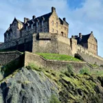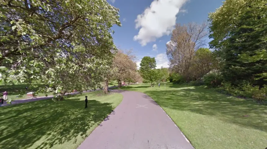
Arthur’s Seat is an extinct volcano located in Holyrood Park that serves as the primary natural vantage point in Edinburgh, Scotland. The site stands 251 meters above sea level and attracts thousands of international tourists daily. High visitor volume leads to severe foot-traffic congestion along narrow summit pathways. The peak experiences significant soil erosion and heavy overcrowding during peak seasonal months.
- Why Is Finding Alternative Viewpoints Necessary for Visitors?
- How Does Blackford Hill Serve as a Peaceful Viewpoint?
- What Sights Do the Braid Hills Offer Away From Busy Areas?
- Why Is Corstorphine Hill Ideal for Quiet Nature Walks?
- How Does Calton Hill Compare as an Accessible Alternative?
- How do I get to Blackford Hill using public transport?
- Are alternative viewpoints accessible for visitors with limited mobility?
- Which alternative hill offers the best views of Edinburgh Castle?
- Are these alternative locations safe to visit during the evening?
- Is there an admission fee to access these alternative viewpoints?
Urban topographies with historical elevation markers provide city planners and nature enthusiasts with diverse elevation points. The geography of Edinburgh features seven distinct hills formed by prehistoric volcanic activity and glacial movement. These natural formations present alternative vantage points across the eastern Lothian region. Seeking alternative locations ensures better safety, environmental preservation, and higher acoustic tranquility for sightseers.
Historically, local residents utilized surrounding ridges for cattle grazing, urban defense, and personal recreation. Holyrood Park received public park status in 1843 under Crown Estate management. Modern tourism growth transformed the main peak into a high-density tourist node. Urban congestion shifted focus toward surrounding elevated parklands across the municipality.
The key components of an optimal urban viewpoint include path accessibility, clear lines of sight, structural stability, and manageability of crowd distribution. Essential infrastructure includes paved approach trails, public transit links, orientation markers, and natural biodiversity reserves.
The selection process for alternate vantage points relies on assessing geographical distance, physical gradient, trail condition, and real-time visitor density. Visitors move from central low-lying urban sectors to higher suburban hills via public transportation networks.
Practical examples of alternative vantage locations include Blackford Hill, Braid Hills, Corstorphine Hill, and Calton Hill. Each site offers distinct angles facing toward the Firth of Forth, Edinburgh Castle, and Old Town historical districts.
Data from environmental management organizations indicates that foot traffic on secondary hills remains 60 percent lower than Holyrood Park. Spreading visitors across multiple nature reserves preserves delicate topsoil and reduces trail wear across ancient geological structures. Distributed foot traffic supports regional wildlife preservation and enhances urban sustainability metrics.
Why Is Finding Alternative Viewpoints Necessary for Visitors?
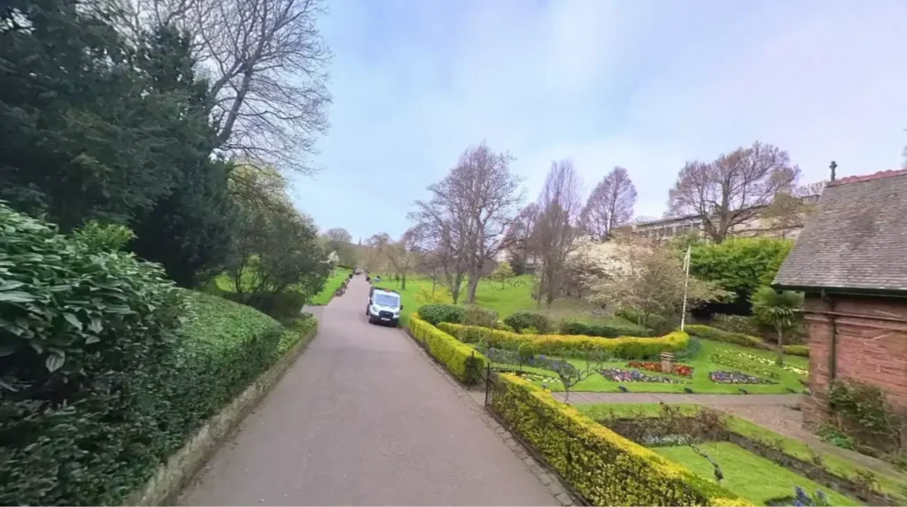
High tourist numbers cause extreme crowding on popular summit paths, leading to long delays, environmental degradation, and reduced visitor satisfaction. Alternative locations offer peaceful surroundings, unblocked camera angles, and lower physical congestion during peak travel hours.
The natural carrying capacity of singular volcanic peaks is strictly limited by total summit surface area. When daily visitor counts exceed sustainable thresholds, visitor movement stalls along steep rock faces. Crowded conditions decrease safety levels along exposed ridge steps. Alternative viewpoints allow individuals to experience elevated Scottish landscapes without safety risks.
Historically, popular tourist hubs managed peak foot traffic through designated entry gates and directional walking tracks. As international travel expanded, central landmarks absorbed disproportionate traffic compared to suburban hill ranges. Modern destination management relies on promoting alternative locations to balance foot traffic.
Core components of alternative site selection comprise geographic dispersion, adequate space, low physical hazard levels, and established walking routes. A high-quality alternative must feature expansive panoramas, clear transport connections, and minimal environmental impact.
The redirection process involves identifying high-density peak hours and navigating toward quieter public parks. Travelers check live weather forecasts, evaluate physical ability, and select hills that match personal preferences.
Real-world examples of peaceful sites include the Hermitage of Braid nature reserve and the northern slopes of Craiglockhart Hill. These areas contain quiet forest trails and broad open crests.
Recent tourism statistics confirm that primary urban summits experience over 800,000 visitors per year. In contrast, secondary hill sites receive less than 200,000 annual visitors. This statistical disparity confirms that alternative locations provide greater space per person.
Long-term management of public parks depends on diverting casual walkers away from overcrowded summits. Distributing foot traffic protects fragile mosses, decreases soil compression, and maintains urban nature reserves for future generations.
How Does Blackford Hill Serve as a Peaceful Viewpoint?
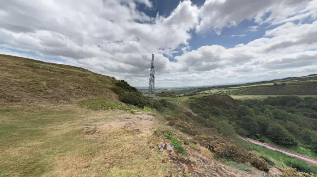
Blackford Hill is a 164-meter hill south of the city center that features wide natural walking trails and panoramic northern sights. The site hosts the historic Royal Observatory and offers quiet green space far from major tourist corridors.
The geography of Blackford Hill features basalt rock foundations covered by thick grassland and natural shrubbery. The northern slope overlooks Holyrood Park, providing an uninterrupted view of Arthur’s Seat itself. Visitors observe the city skyline framed against the waters of the Firth of Forth.
Historically, Blackford Hill became a public park in 1884 after the land was purchased by the Edinburgh Corporation. The establishment of the Royal Observatory on its summit in 1896 established the hill as an essential center for scientific study and public recreation.
Key infrastructure components include the Braid Burn valley, timber walking steps, directional signage, and public parking zones. The site contains designated nature reserve zones that protect local bird and plant species.
Visitors access the summit by walking through the wooded Hermitage of Braid or ascending the southern grass tracks. The ascent requires moderate physical effort along well-maintained dirt paths.
Practical examples of specific viewing areas on Blackford Hill include the stone orientation indicator near the observatory and the western crag overlooks. These locations offer direct sightlines toward Edinburgh Castle.
Environmental surveys show that peak weekend crowd density on Blackford Hill remains below 15 persons per hectare. This density figure is roughly one-fifth of the crowd density recorded at Holyrood Park summits.
Preserving Blackford Hill as a quiet recreational space safeguards urban biodiversity and provides a reliable escape from heavy tourist traffic. The site remains a primary asset for long-term urban conservation plans.
What Sights Do the Braid Hills Offer Away From Busy Areas?
The Braid Hills form a high southern ridge that provides broad, sweeping views over the entire city and the distant Pentland Hills. Located south of Blackford Hill, this open location features peaceful walking paths across wild heathland terrain.
The terrain reaches an elevation of 209 meters above sea level, placing it higher than most central suburban viewpoints. The elevated position allows visitors to see northern landmarks, southern mountain ranges, and eastern coastal horizons simultaneously.
Historically, the Braid Hills were used as public common land and golf grounds starting in 1889. The area retained its rugged, open character despite urban expansion across the surrounding southern suburbs.
Structural elements of the Braid Hills include natural gorse bushes, gravel walking trails, golf fairways, and hilltop benches. The absence of large tourist facilities preserves a calm, natural atmosphere.
Visitors reach the crest by taking local municipal bus routes to the Liberton or Morningside districts. Walkers follow marked public rights of way that cross the high ridge.
Specific viewing points include the Liberton Drive ridge line and the western summit cairn. These locations offer excellent photographic perspectives of the volcanic skyline.
Geographical measurement data confirms the ridge offers a 360-degree sightline spanning over 30 kilometers on clear days. Low ambient noise levels make it one of the quietest locations in the municipality.
Promoting the Braid Hills reduces pressure on central parks while encouraging outdoor activity across regional green belts. The location demonstrates how suburban natural spaces support sustainable city tourism.
Why Is Corstorphine Hill Ideal for Quiet Nature Walks?
Corstorphine Hill is a long, heavily wooded ridge in the western sector that combines tranquil forest trails with elevated western sights. The area offers peaceful walking routes away from standard central city tours.
The hill rises to 161 meters and is covered by mature deciduous and coniferous woodland. The dense tree canopy dampens urban noise and creates a quiet, secluded forest atmosphere.
Historically, the hill served as an agricultural area before becoming a designated local nature reserve in 1997. The historic Clermiston Tower was erected on its ridge in 1861 to commemorate Sir Walter Scott.
Key components include gravel forestry tracks, historic stone walls, the Clermiston Tower structure, and dedicated wildlife protection zones. Clearings along the western slopes reveal views of the River Forth bridges.
Visitors access the hill via multiple trail entrances located near Murrayfield, Corstorphine, and the local zoological gardens. Footpaths climb gradually through tree-lined corridors toward the upper crest.
Notable locations include the forest glades near the peak, the tower viewing platform, and the western rock outcrops. These points provide quiet spots for rest and landscape observation.
Forestry department data indicates that tree cover covers over 80 percent of the hill’s total land area. This dense canopy reduces wind speeds and noise levels compared to exposed central summits.
Maintaining Corstorphine Hill ensures that western suburban sectors retain high-quality green spaces. The site offers an important alternative for travelers seeking forest environments rather than open rock climbs.
How Does Calton Hill Compare as an Accessible Alternative?
Calton Hill sits on the eastern end of Princes Street, offering direct city views with shorter walking times and paved access roads. The site features historic national monuments and wide paved paths designed for easy walking.
The hill rises 100 meters above sea level and sits right beside the city center. Its location provides direct views over Princes Street, Edinburgh Castle, and the historic Old Town skyline.
Historically, Calton Hill was incorporated into the city design by Georgian architects in the 18th century. It became a public park hosting iconic structures, including the National Monument, Nelson Monument, and City Observatory.
Key infrastructure includes stone staircases, paved loop trails, public lighting, historical monuments, and nearby public transport stops. High path capacity allows the hill to accommodate visitors without severe crowding.
Access requires a short ten-minute walk up paved stairs starting from Regent Road or Waterloo Place. The easy access makes it suitable for visitors seeking broad views with minimal physical exertion.
Key viewing spots include the steps of the National Monument, the Nelson Monument viewing balcony, and the Dugald Stewart Monument path. These spots provide world-famous photography angles.
Pedestrian capacity studies show that Calton Hill handles high visitor numbers easily due to its wide paved paths. Physical stress on natural topsoil is minimal compared to unpaved dirt trails.
Calton Hill serves as an ideal alternative for visitors with limited time or mobility. The location provides high-impact panoramic views without demanding steep, unpaved hill climbs.
How do I get to Blackford Hill using public transport?
You can take local municipal bus routes 9, 38, or 41 from the city center directly to the South Morningside or Blackford areas. From the bus stops, it is a short ten-minute walk through the Hermitage of Braid nature reserve to reach the main hill paths.
Are alternative viewpoints accessible for visitors with limited mobility?
Calton Hill offers paved roads and gentle slopes that allow easier access compared to the rocky paths of Arthur’s Seat. While some sections involve steps, the main paved loop provides smooth access to wide city vistas.
Which alternative hill offers the best views of Edinburgh Castle?
Blackford Hill and Calton Hill offer the clearest, most direct sightlines facing Edinburgh Castle. Blackford Hill shows the castle framed against the broader urban landscape from the south, while Calton Hill provides a classic close-up view from the east.
Are these alternative locations safe to visit during the evening?
Calton Hill is well-lit near main pathways and remains active with visitors during sunset hours. Suburban nature sites like Braid Hills and Corstorphine Hill lack artificial lighting, so visitors should bring flashlights and stick to marked tracks after dark.
Is there an admission fee to access these alternative viewpoints?
All public hills and nature reserves, including Blackford Hill, Braid Hills, Corstorphine Hill, and Calton Hill, are free to enter. Specific historical structures, such as the Nelson Monument tower on Calton Hill, may charge small entry fees for access to internal staircases.