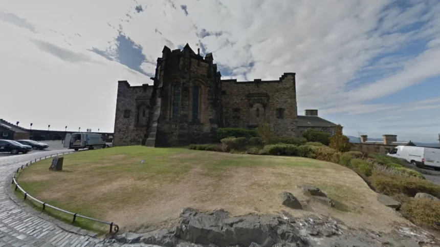
First-time visitors to Edinburgh frequently express surprise at the physical topography, distinct urban architecture, and extensive underground historical structures. The city features a dramatic landscape formed by extinct volcanoes and glacial activity, creating multi-layered streets and dramatic vertical elevation changes.
Edinburgh sits on an ancient volcanic landscape in the Lothian region of Scotland. The physical geography shapes how the city developed over more than a thousand years. Glaciers swept across the region during the last ice age, creating a crag and tail formation.
This left high basalt cliffs that now hold Edinburgh Castle, alongside steep ridges that slope eastward. The natural elevation forces buildings upward rather than outward, creating a compressed urban center.
Visitors moving through the city center encounter massive vertical drops, high bridges, and double-decker street layouts that are unique among European capital cities.
The urban layout of Edinburgh is divided strictly into two distinct historical zones. The Old Town preserves a medieval street pattern consisting of a central ridge line and narrow side alleys known as closes.
The New Town presents a uniform grid of eighteenth-century Georgian architecture designed by planner James Craig. These two districts sit side-by-side, separated by the sunken Gardens of Princes Street.
The contrast between tight, dark medieval alleyways and wide, symmetrical neoclassical avenues creates an unexpected visual shift for travelers walking across the central valley.
Edinburgh features a extensive subterranean network built directly beneath its active modern streets. In the eighteenth century, civil engineers built massive stone viaducts, including South Bridge and George IV Bridge, to span deep ravines.
Property owners enclosed the stone arches beneath these bridges, converting them into multi-story vaults, workshops, and tenements. Over time, poor air circulation and overcrowding forced residents out, sealing the subterranean chambers below street level.
These dark vaults remained forgotten for decades until rediscoveries in the late twentieth century revealed intact historical spaces preserved beneath modern traffic.
Why Is Edinburgh Built on Multiple Vertical Levels?
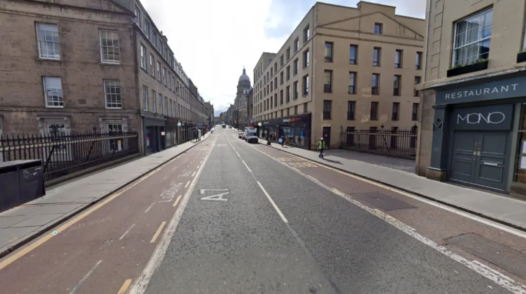
Edinburgh relies on multiple vertical levels because severe geographic constraints forced historic builders to construct high-rise tenements and elevated bridges over deep valleys. This design created stacked streets, hidden underground chambers, and dramatic stairways throughout the city center.
The physical boundaries of Edinburgh historically restricted horizontal growth. The city was bounded by North Loch to the north and defensive city walls to the south. Residents constructed buildings up to fourteen stories high on narrow plots during the seventeenth century.
These structures represent some of the earliest high-rise residential tenements in Europe. When the city expanded beyond its historic walls, engineers constructed massive stone arch bridges across the low valleys.
These bridges created a second layer of streets directly above older roads, effectively turning ground-level thoroughfares into subterranean tunnels.
The result of this historical construction is a complex three-dimensional urban layout. Street-level entrances on one road often connect to the top floor of a building on the street below.
Thoroughfares like Cowgate run through dark, covered valleys directly beneath the elevated lanes of George IV Bridge and South Bridge. Pedestrians navigate between these distinct elevation levels using stone staircases called steps or wynds.
The physical effort required to climb these public staircases catches many pedestrians off guard, as distance on a map does not reflect the significant steepness of the terrain.
The atmospheric differences between the upper and lower street levels remain evident today. The upper streets capture maximum daylight and house retail shops, while the lower levels preserve shadowy corridors and damp stone vaults.
This vertical urban design created distinct microclimates within small geographic distances. The architectural layering means that two people standing at the exact same geographical coordinates can be separated by sixty feet of vertical stone masonry.
Understanding this unique spatial arrangement is essential for navigating the historic core of the city effectively.
How Does an Extinct Volcano Shape the City Center?
An extinct volcano shapes the city center by providing the solid basalt foundation for Edinburgh Castle and creating the steep, sloping terrain known as Arthur’s Seat. This ancient geological structure dictates the street orientation and elevation changes of the city.
Arthur’s Seat and Castle Rock form the primary geological anchors of the Edinburgh landscape. These formations represent the remnants of an extinct volcano system that was active three hundred and fifty million years ago.
During the Carboniferous period, volcanic vents spewed tough basalt and dolerite rock across the region. Subsequent glacial erosion during the ice ages stripped away softer sedimentary rock while leaving the hard volcanic plugs intact.
This geological process created towering cliffs that dominate the skyline and provide natural defensive points used by humans since the Iron Age.
Castle Rock sits three hundred and fifty feet above the surrounding terrain, offering a panoramic vantage point over the Firth of Forth. The Royal Mile extends eastward down the tail of sedimentary rock protected behind the volcanic plug.
This structural formation, known as a crag and tail, dictates the exact path of Edinburgh’s most famous historical avenue. Buildings constructed along this ridge sit on varying gradients, sloping downward toward the Palace of Holyroodhouse.
The volcanic bedrock provides a dense foundation that supports heavy masonry structures throughout the Old Town.
Arthur’s Seat rises eight hundred and twenty-two feet within Holyrood Park, just minutes from the dense urban center. The peak provides a wilderness habitat containing rare flora, geological features, and historical hill forts directly adjacent to government buildings.
Visitors walking through the city center are often surprised to find raw highland terrain within immediate reach of paved streets. The presence of these dramatic volcanic landforms inside a major capital city preserves open space and creates striking natural contrasts against the stone architecture.
What Lies Hidden Beneath the Streets of the Old Town?
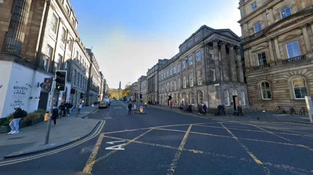
Beneath the streets of the Old Town lie forgotten stone vaults, abandoned medieval closes, and sealed subterranean chambers. These hidden spaces were buried when engineers built modern elevated bridges and streets over older slum quarters.
The subterranean spaces of Edinburgh developed primarily during the late eighteenth century. The construction of South Bridge in seventeen eighty-eight created nineteen massive stone arches across the Cowgate ravine. Builders enclosed these structural arches with stone side walls to create indoor storage space for local merchants, tradesmen, and taverns.
The vaults contained over one hundred separate rooms spread across several dark, windowless levels beneath the bridge deck. Poor construction materials allowed moisture to seep through the stone, making the air damp and unhealthy for long-term commercial storage.
As industrial businesses vacated the damp spaces, the vaults became unofficial housing for the city’s poorest populations. Overcrowded conditions, lack of sunlight, and absence of sanitation led to widespread disease within the dark chambers. City authorities eventually ordered the vaults filled with rubble and sealed the access points during the mid-nineteenth century.
The underground network remained untouched for over a century, preserving artifacts, stone hearths, and structural arches from historic daily life. Rediscoveries in the nineteen eighties led to archaeological excavations and public access tours.
Another major subterranean feature is Mary King’s Close, a medieval alleyway buried beneath the Royal Exchange building. When city officials built the City Chambers in seventeen fifty-three, they demolished the upper floors of existing tenements and used the ground floors as foundations.
This construction technique preserved a fully intact seventeenth-century street buried beneath the modern administration building. Visitors exploring these underground rooms walk on original cobblestones, viewing preserved homes, merchant shops, and domestic hearths that were sealed away from daylight for centuries.
Why Is the Weather So Unpredictable Near the Firth of Forth?
The weather is unpredictable near the Firth of Forth because maritime air masses from the North Sea meet localized coastal winds and hilly terrain. This geographic combination creates rapid shifts in wind speed, rainfall, and dense coastal fog.
Edinburgh experiences a maritime climate heavily influenced by its proximity to the North Sea and the Firth of Forth estuary. The city sits on the eastern coast of Scotland, exposed to shifting weather systems coming from multiple directions.
Moisture-laden air traveling across the Atlantic Ocean loses much of its precipitation on the western mountains of Scotland before reaching Edinburgh. However, easterly winds sweeping across the cold North Sea bring damp air, sudden temperature drops, and prolonged rain showers. The local weather pattern can shift from bright sunlight to overcast precipitation within minutes.
A distinct meteorological phenomenon in Edinburgh is the coastal sea fog, known locally as the haar. The haar forms when warm, moist air moves over the cold waters of the North Sea, condensing into a thick, low-lying fog bank.
Strong easterly breezes roll this cold fog inland, engulfing the city in low visibility and chilly temperatures while areas just a few miles inland remain warm and sunny. The fog rolls across the volcanic hills, obscuring Edinburgh Castle and Arthur’s Seat, creating dramatic light shifts and rapid temperature drops across the city.
The varied topography of the city further amplifies these localized weather shifts. Steep hills, narrow closes, and wide avenues create distinct wind corridors and microclimates. A street sheltered behind a high stone tenement may feel warm and calm, while an adjacent open ridge experiences strong wind gusts.
The combination of coastal proximity, elevation changes, and North Sea currents means that weather forecasts must account for high variability across single days and small geographic distances.
How Does Edinburgh Combine Medieval History with Modern Life?
Edinburgh combines medieval history with modern life by housing active government offices, residences, and contemporary businesses inside historic stone buildings. The city maintains strict conservation rules while hosting global cultural events within its historic core.
The coexistence of historic structures and contemporary urban life defines the daily environment of Edinburgh. Ancient tenements along the Royal Mile continue to function as private apartments, government buildings, and active retail shops.
The Scottish Parliament building sits directly opposite the sixteenth-century Palace of Holyroodhouse, creating a clear visual dialogue between historic and modern governance. Rather than isolating historical structures inside open-air museums, the city integrates centuries-old stone architecture into its daily economic, political, and residential functions.
Cultural institutions actively utilize historic spaces to host modern events throughout the calendar year. During August, the city hosts the Edinburgh Festival Fringe, the world’s largest arts festival. Thousands of performers occupy historic venues, converting medieval vaults, churches, public squares, and subterranean spaces into temporary theaters.
The contrast between ancient architecture and avant-garde performance art creates a dynamic urban atmosphere. Historic closes and courtyards serve as daily pedestrian routes for university students, office workers, and international visitors.
Strict planning regulations preserve the historical integrity of Edinburgh’s architectural landscape. The entire Old Town and New Town districts hold UNESCO World Heritage status, requiring new construction projects to match historic stone aesthetics and height restrictions.
Modern interior renovations are permitted, allowing businesses to operate contemporary technology within centuries-old facades. This balanced approach to urban conservation ensures that the city retains its distinct historic character while functioning as a modern capital city and hub for education, finance, and technology.
Is Edinburgh a walkable city for first-time visitors?
Edinburgh is highly walkable in terms of distance, but the terrain features steep inclines, long staircases, and uneven cobblestones. Visitors must prepare for constant vertical climbs when walking between different street levels.
Why are there so many narrow alleyways in Edinburgh?
The narrow alleyways, called closes or wynds, were created in the medieval era to maximize building space within the protective city walls. They provided access from the main ridge road to private courtyards and tall tenements.
Can you visit the underground vaults of Edinburgh without a tour?
Access to the underground vaults is restricted to guided historical tours for safety and preservation reasons. Most entry points are securely locked beneath public bridges and commercial buildings.
What is the best time of year to visit Edinburgh?
May through September offers the mildest weather and longest daylight hours, making it ideal for sightseeing. August is the busiest month due to the global Edinburgh Festival Fringe.
How cold does it get in Edinburgh during the summer?
Summer temperatures typically range from 14°C to 19°C (57°F to 66°F). Sudden wind gusts and coastal fog can cause temperatures to feel cooler, requiring layered clothing even in July.